Junction View® Data
Junction View® Data features accurate signpost information and realistic images of diverging points within major highway junctions. Images can be created or customized to fit your needs.

Highlights

USA Junction: Real-World Image
")
Created Image (Abalta Original Image)
All obstacles/impurities are removed and important information is presented for clear view.
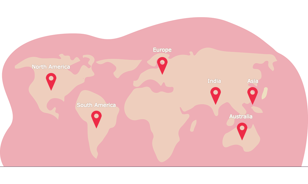
Worldwide Coverage in 35+ Countries
North America:
USA (Including Puerto Rico), Canada, and Mexico
South America:
Brazil and Argentina
Europe:
Austria, Belgium, Czech Republic, Denmark, Finland, France, Germany, Hungary, Ireland, Italy, Luxembourg, Netherlands, Norway, Poland, Portugal, Russia, Slovakia, Spain, Sweden, Switzerland, and UK
Asia and Australia:
Japan, Taiwan, and India